all AI news
I find myself wondering why olympic snow sports are so Eurocentric. How would I go about making a map that weights "reliable presence of snow", "population density", and other factors necessary for a sport to flourish? Not a homework, I just felt cur
Feb. 9, 2022, 1:47 p.m. | /u/AlarmingAffect0
Data Science www.reddit.com
Is it as "simple" as looking up the databases for maps like this one for snow, [https://mapstor.com/news/digital-cartography-and-gps-navigation/02-11-2016-number-density-and-population-growth-in-the-world.html] and then scaling the "tiles" to be the same size for multiplication? How to account for factors like local concentrations of wealth and industry, state sponsorship of sports...?
submitted by /u/AlarmingAffect0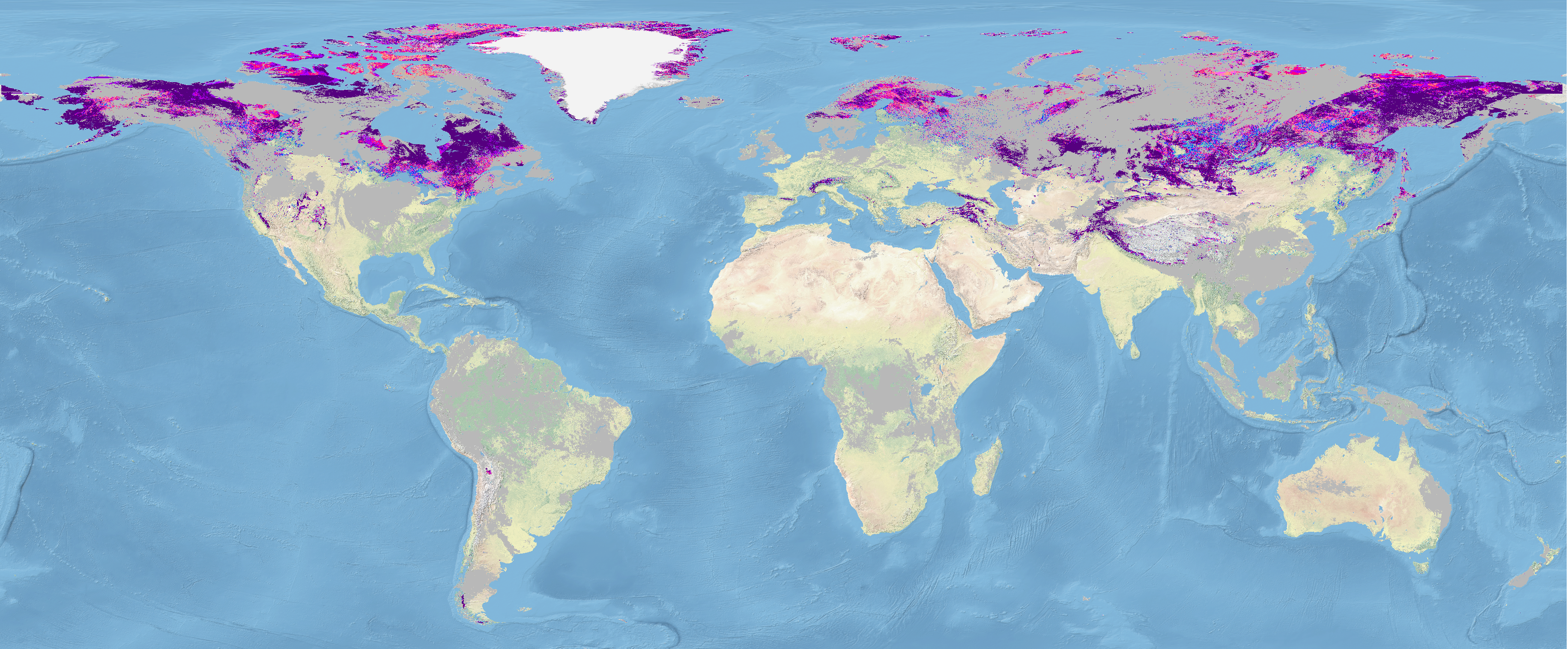
[link] [comments]
More from www.reddit.com / Data Science
What would you call a model that by nature is a feedback loop?
1 day, 14 hours ago |
www.reddit.com
Career networking question
1 day, 18 hours ago |
www.reddit.com
Jobs in AI, ML, Big Data
Data Architect
@ University of Texas at Austin | Austin, TX
Data ETL Engineer
@ University of Texas at Austin | Austin, TX
Lead GNSS Data Scientist
@ Lurra Systems | Melbourne
Senior Machine Learning Engineer (MLOps)
@ Promaton | Remote, Europe
Risk Management - Machine Learning and Model Delivery Services, Product Associate - Senior Associate-
@ JPMorgan Chase & Co. | Wilmington, DE, United States
Senior ML Engineer (Speech/ASR)
@ ObserveAI | Bengaluru